GNSS – Understanding the Foundations of Satellite Positioning
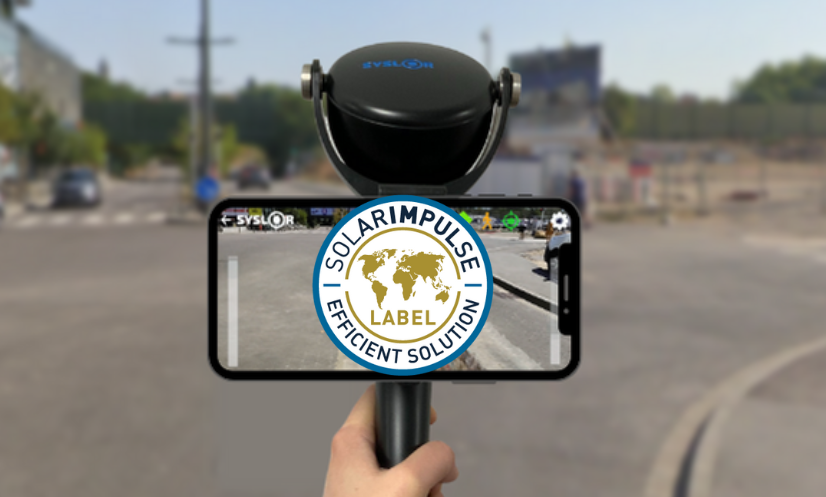
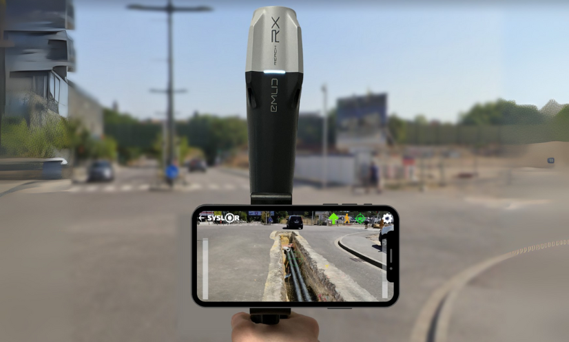
GNSS positioning is used in many professional applications, including surveying, civil engineering, and utility network management. It relies on satellite constellations and complex calculation methods to determine an accurate position. Here’s a breakdown of how GNSS systems work and the common causes of accuracy degradation. GNSS: Beyond GPS The term “GPS” is often mistakenly used to refer to all satellite positioning technologies. In reality, GPS is just one of the available systems. The correct term is GNSS (Global Navigation Satellite System), which encompasses all active satellite constellations: GPS (USA) GLONASS (Russia) GALILEO (European Union) BEIDOU (China) Some regions also benefit from complementary regional systems, such as QZSS in Japan. Principles of Position Calculation A GNSS receiver calculates its position based on the measured distance between itself and several satellites. Each satellite continuously broadcasts a signal containing precise time information. By measuring the time it takes for the signal to reach the receiver, the distance can be determined. This process is known as trilateration. To compute a full position (latitude, longitude, altitude) and correct the receiver’s clock bias, at least four satellites are required. Using multiple constellations increases the number of visible satellites, thereby improving the accuracy and reliability of the positioning. Contents of GNSS Signals Each satellite transmits a signal composed of several elements. These signal structures are defined in the official GPS system specification, IS-GPS-200, published by the United States Department of Defense: Navigation data: includes orbital parameters and clock corrections. What are ephemeris data used for? Ephemeris data are orbital parameters transmitted by each GNSS satellite within its navigation messages. They describe the satellite’s trajectory over a given period and are essential for the receiver to compute the satellite’s exact position at the time the signal was transmitted. There are two main types: Broadcast ephemeris, calculated by GNSS control centers and transmitted in real time within the satellite signals. Precise ephemeris, produced by organizations such as the IGS (International GNSS Service), used in applications requiring high accuracy, especially for post-processing. An error in the ephemeris data can result in positioning errors of several meters. Their quality is therefore a critical factor in any precise GNSS computation. Precise ephemerides are particularly provided by institutions like the IGS, which supplies reference orbital and timing data used in PPP (Precise Point Positioning) solutions. Pseudo-Random Noise (PRN) code: allows identification of the satellite and calculation of the signal travel time. Carrier wave: a radio-frequency signal that carries the other data. The satellite–receiver distance can be calculated in two ways: Using the PRN code, with meter-level accuracy. Using the carrier phase, which provides centimeter-level accuracy, but requires complex processing to resolve ambiguities (such as cycle slips and the integer number of cycles). Understanding Carrier Phase Ambiguity Measuring the phase of a carrier wave allows for much higher accuracy than code-based positioning. However, it comes with a particular challenge: the receiver can measure the received phase, but does not know the exact number of whole cycles traveled between the satellite and itself. This is known as carrier phase ambiguity. To convert the measurement into an absolute distance, the ambiguity must be “resolved,” meaning the correct number of full cycles must be estimated. This step is critical in positioning techniques like RTK (Real-Time Kinematic) or PPP (Precise Point Positioning), where the accuracy directly depends on the quality of ambiguity resolution. An incorrect ambiguity “fix” results in a systematic error that can reach several centimeters or more. That’s why high-end receivers include advanced algorithms capable of detecting, modeling, and correcting these uncertainties. Ambiguity resolution is extensively documented in the literature, notably in the Springer Handbook of GNSS (Teunissen & Montenbruck, 2017), a key reference on the topic. Main Sources of GNSS Errors Several factors affect positioning accuracy. Errors may arise from: From the satellites: Clock errors: although satellites are equipped with atomic clocks, even tiny drifts can cause positioning errors of several meters. Orbital errors: discrepancies exist between the satellite’s theoretical position and its actual position. From the atmosphere: Ionospheric delay: caused by charged particles in the upper atmosphere; it varies with solar activity. Tropospheric delay: caused by humidity and pressure in the lower layers of the atmosphere. From the receiver: Internal clock drift Local environment errors: such as multipath effects, obstructions, and interference. Cycle slips: an intermittent but critical source of error A cycle slip is a sudden disruption in the tracking of a carrier phase signal by a GNSS receiver. This typically occurs when a temporary obstacle (such as a vehicle, building, or vegetation) blocks or disturbs the signal, even momentarily. When the signal is reacquired, the receiver resumes phase tracking, but the previous ambiguity is no longer valid—it must be re-estimated. If this detection is poorly handled, it can result in an invisible but long-lasting error. High-performance receivers, such as Proteus, are equipped with automatic cycle slip detection mechanisms and can restart ambiguity resolution algorithms accordingly. Effective handling of cycle slips is critical in complex environments such as urban areas, forests, or cluttered construction sites. Signal processing accuracy: depends on the quality of the hardware and the algorithms used. Type of error Origin Order of magnitude Satellite clock drift Space segment Up to 3 meters Orbital error Space segment ±2.5 meters Ionospheric delay Atmosphere (50–1000 km) 5 to 50 meters Tropospheric delay Atmosphere (0–12 km) 2 to 10 meters Multipath Receiver / Environment Variable (meters) Internal measurement noise Receiver Centimeter to decimeter level Improving Accuracy: GNSS Corrections To achieve centimeter-level accuracy, GNSS positioning must be corrected. Several techniques exist depending on the use case and operating conditions: RTK (Real-Time Kinematic) and NRTK (Network RTK): use one or more fixed reference stations to provide real-time correction data. The differential correction data are usually transmitted in the RTCM 10403.3 format, a widely adopted standard in professional GNSS systems. Base/Rover: involves a mobile base station that sends corrections to a rover in real time. This method requires solid surveying knowledge for proper setup. PPP (Precise Point Positioning): uses mathematical models to correct various error
GNSS – Understanding the Foundations of Satellite Positioning Read Post »