Take control of your field data, from acquisition to utilization.
Capture, georeference, and leverage your data directly in the field with simple, precise solutions connected to your business tools.


Increasingly constrained worksites
Stricter regulations, precision requirements, pressure on deadlines: network professionals face daily challenges where even the smallest error can have major consequences.
Network incidents are often caused by a lack of precision in setting out. Every centimeter counts for team safety and the success of your projects.
Save hours of work by avoiding the interpretation of plans containing errors. Digitalization opens up new opportunities to improve efficiency in the field.
Damage to networks leads to costs, risks for your teams, and project delays. Poor localization of underground networks can have significant human and financial consequences.
A complete suite covering the entire project lifecycle
Mobile applications for field operators, a web portal for office-based surveyors: Syslor covers the entire value chain.

Tackle all your field challenges with centimeter-level accuracy and avoid costly damages. Robust, cost-effective, smartphone and tablet compatible. Made in France.
Discover Proteus →
Set out, survey and carry out earthworks easily and accurately, directly from your smartphone. Simple, ergonomic and designed for field team autonomy.
Discover EasyField →
Visualize your underground networks in augmented reality to improve accuracy and safety. The solution to simplify marking and staking while preventing accidents.
Discover EasyView →
Capture your trench with your smartphone and generate a georeferenced point cloud from a video, independently and without entering the trench.
Discover EasyScan →
Transform your EasyScan deliverables into usable and exportable as-built plans. Draw, annotate and merge multiple point clouds for a comprehensive project overview.
Discover EasyMap →
Manage your projects, administer users and worksites, and monitor your activity through a centralized dashboard accessible via the Syslor web portal.
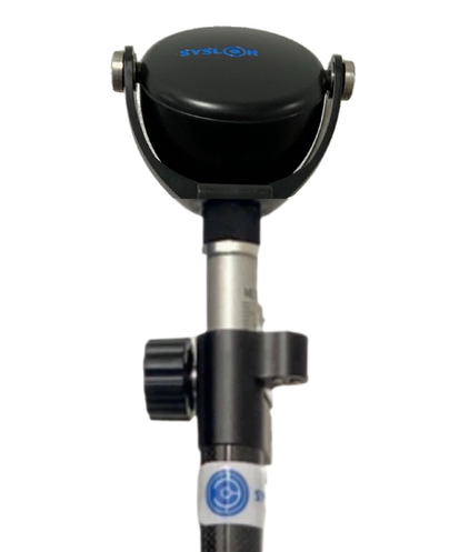
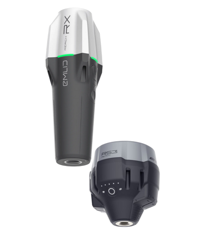
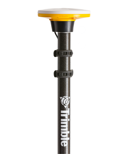
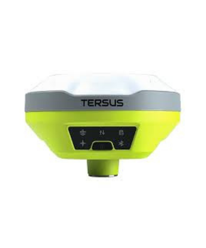
Discover EasyDesk →Compatible with multiple GNSS receivers on the market
Syslor solutions integrate with leading GNSS receivers on the market — leverage your existing equipment for accurate georeferencing, without additional purchases or unnecessary environmental impact.

Discover our solutions
in detail
An expert will show you how Syslor solutions help your teams gain autonomy in the field while ensuring reliable data at every stage of your project.
Get a free demo
An expert shows you how our solutions meet your field needs.
By submitting this form, you agree to receive communications from us.
Solutions tailored to every network stakeholder
Whatever your role, Syslor provides a concrete answer to your field challenges.
Optimize production time, leverage collected data, and ensure proper execution of works.
Identify network damages, plan your territory, and build a reliable asset database.
Avoid network damage, produce GIS-compatible deliverables, and build an asset database.
Secure operations, save time, monitor work execution, and reduce carbon impact.
Secure operations, visualize projects in the field, and ensure reliable mapping of sensitive networks.
What our clients say
From surveyors to site managers, they use Syslor solutions in their daily work.
“For me, it's a game-changing tool—honestly, my life on site has changed. I think it should be mandatory.”
“It's innovative and greatly simplifies communication between engineering offices and site managers. It empowers site managers to close trenches faster, without relying on a surveyor.”
“We commend Syslor for developing EasyScan, which works remarkably efficiently and opens up new possibilities for use.”
A complete suite of field tools to digitize, secure and optimize
More than just a tool, Syslor develops a complete technological ecosystem for public works professionals.
Eliminate costly errors thanks to RTK technology. Every centimeter counts for the success of your projects.
Protect your teams and your projects. Drastically reduce operational risks and avoid costly network damages.
Save valuable time thanks to the speed of our tools. No more outdated plans, no more wasted time, no more dependency on surveyors.
From setting out to as-built surveys, including augmented reality: a suite of smartphone and tablet-compatible applications covering all your field needs.
Benefit from the expertise of field professionals. Training, technical support, and guidance to support you throughout your projects.
Leverage the latest technologies on your worksites with our constantly evolving solutions. Operators and surveyors trust us to innovate.
Ready to take it to the next level?
Join the hundreds of professionals who already trust us. Our experts present Syslor solutions tailored to your business: setting out, as-built surveys, marking & staking… Discover how your teams can gain accuracy, safety, and autonomy.