From video capture to compliant as-built
in 30 minutes.
Film your open trench with your smartphone. EasyScan automatically generates
a georeferenced 3D point cloud and a reliable as-built plan — without heavy equipment, without a surveyor on site.


From video to actionable data
in just a few minutes
A simple video of your trench is enough. EasyScan turns your smartphone into a tool for digitizing underground networks.
Film while walking
Using the EasyScan app on Android or iOS, film the excavation while walking. No heavy equipment required.
Georeferenced point cloud generated automatically
EasyScan generates a georeferenced 3D point cloud and an orthophoto in just a few minutes using photogrammetry.
Vectorize your networks directly on the orthophoto
Draw, annotate and vectorize from our web portal with EasyMap. Combine multiple point clouds to get a complete view of your project.
Compliant deliverable exported in one click
Export to ESRI, QGIS and your usual CAD tools in DWG, DXF, IFC, RecoStaR, CSV and custom formats on request.
The complete solution for your network as-built surveys
Discover how EasyScan simplifies field capture and deliverable production.
Speed
From field capture to final plan in under 30 minutes. Less waiting and fewer site visits: the orthophoto is available in real time for faster trench closure.
Class A accuracy
Georeferenced 3D point cloud, with Centimetric-level accuracy. Your measurements meet regulatory requirements — without a surveyor to be on site.
Asset data
Create and maintain a geolocated network database in real time.
Mobility and simplicity
Your Android or iOS smartphone is all you need. Quick to learn and easy to use. EasyScan offers unlimited usage.
SIG/CAD integration
Direct export to ESRI, QGIS, AutoCAD. Formats: DWG, DXF, IFC, CSV, RecoStaR, DGN, and custom formats on request.
100% compliant
Plans compliant with network standards (water, gas, electricity) — accepted by network operators.
Everything you need, in a single solution
Mobile apps for field operators, a web portal for office-based surveyors.
Instant field capture
Film your open trench with EasyScan on Android or iOS. Generate a georeferenced point cloud and an orthophoto in just a few minutes.
Mapping tool EasyMap
Draw, vectorize and annotate networks directly on the orthophoto or point cloud.
Point cloud aggregation
Get a continuous and georeferenced view of the entire site through automatic orthophoto concatenation.
Profiles, measurements & GIS/CAD
Longitudinal and cross profiles, linear measurements, surfaces, volumes. Export DWG, DXF, IFC, CSV, RecoStaR, DGN and custom formats on request.
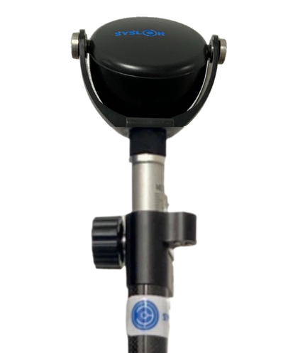
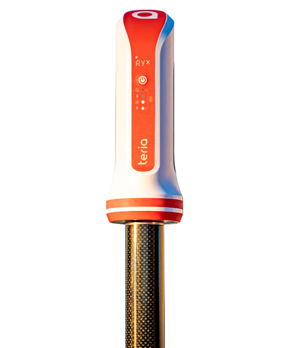
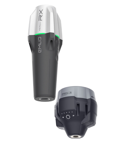
Compatible with multiple GNSS receivers on the market
EasyScan integrates with leading GNSS receivers — leverage your existing equipment for accurate georeferencing, without additional purchases or unnecessary environmental impact.
What field teams say
From surveyors to site managers, they use EasyScan every day.
“We congratulate Syslor for developing EasyScan, which works remarkably efficiently and opens up new possibilities for use.”
“It’s innovative and greatly simplifies communication between engineering offices and site managers. It empowers site managers to close trenches faster without relying on a surveyor.”
See EasyScan
in action on your site
An expert presents the solution tailored to your needs and answers all your questions.
Get a free demo
An expert shows you how to go from field video to a compliant deliverable in 30 minutes.
By submitting this form, you agree to receive our communications.
EasyScan, Syslor’s answer to as-built survey challenges
Since 2017, Syslor has been developing tools designed around real field conditions. EasyScan was born from a shared observation by surveyors, operators and site managers: acquiring compliant field data should be within reach of every operator, independently. By enabling operators to capture and deliver data themselves, we have empowered teams — without compromising compliance, quality or the accuracy of deliverables available on EasyMap, our vectorization platform.
Learn more about Syslor →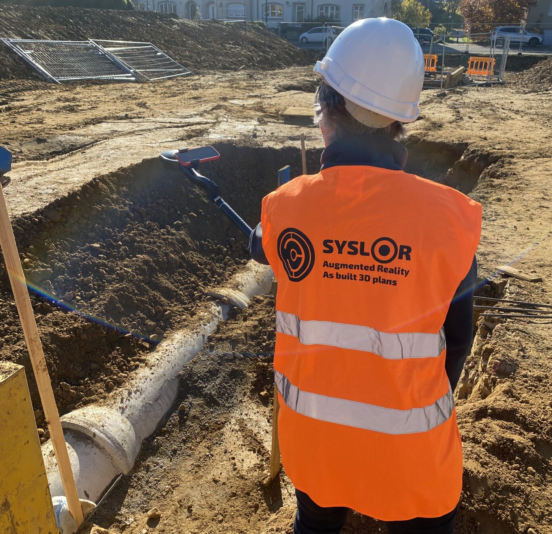
Ready to say goodbye
to trench entry?
Discover how your teams can gain accuracy, safety and autonomy. Join over 300 clients already using EasyScan.
Download the EasyScan app
Access our services wherever you are. Available on iOS and Android.