AR stakeout marking

Visualize underground networks in AR for greater accuracy and safety.
EasyView turns your smartphone or tablet into a 3D visualization tool for underground networks. Mark, stake out and maintain markings with augmented reality and GNSS accuracy, while reducing damage and delays.
Request a demo Learn more
Simplified marking, stakeout & maintenance
Android & iOS compatible · Immersive and intuitive solution
Unlimited usage · Developed in France
They trust us


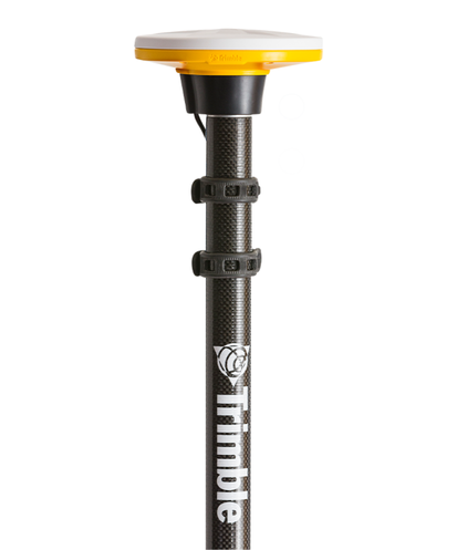
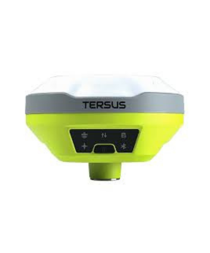
Your equipment is enough
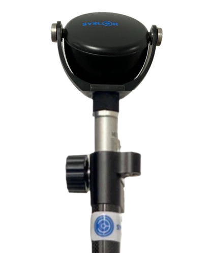
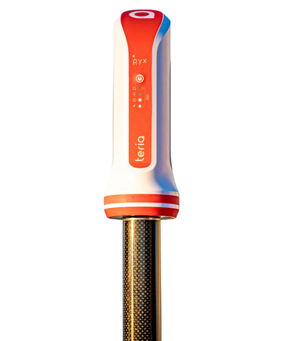
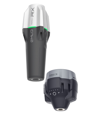
Compatible with multiple GNSS receivers on the market
EasyView integrates with the leading receivers on the market — leverage your existing equipment for accurate georeferencing, without additional purchases or unnecessary environmental impact.
Download the EasyView app
Access our services wherever you are with our app available on iOS and Android.