From video capture to as-built plan in 30 minutes.
Thanks to photogrammetry, EasyScan allows you to film your open trench and automatically generate a georeferenced point cloud to produce a Class A as-built plan. Available on tablet and smartphone, EasyScan can be used without limits to support all your worksites.

From video to usable data in just minutes, with certified accuracy.
EasyScan turns your smartphone into a field scanning tool. A simple video is enough to generate a georeferenced 3D point cloud, a usable orthophoto, and access our EasyMap drawing tool to collaborate, vectorize, and export your data.
Key features
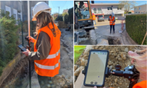
Real-time field capture
Film your open trench with the EasyScan app on Android or iOS: the solution generates a georeferenced point cloud and an orthophoto in just a few minutes.
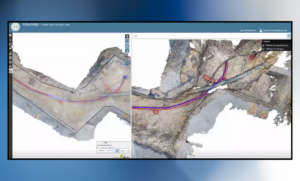
Vectorization module
Take advantage of EasyMap, our vectorization tool on our web platform to trace, vectorize, and annotate networks directly on the orthophoto or point cloud, with centimeter accuracy
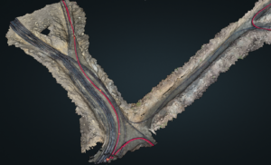
Model concatenation
Access a visualization of the entire worksite thanks to the automatic concatenation of orthophotos, which provides a continuous and georeferenced view.
Profiles, measurements, and GIS/CAD integration
From our web portal, create longitudinal and cross profiles, measure lengths, areas, and volumes, then export in DWG, DXF, IFC, CSV, and DGN formats to your GIS and CAD tools.
Why choose EasyScan?
Discover how EasyScan simplifies field capture and the production of your deliverables.

Fast
From field capture to the final plan in just minutes. Real-time processing and instantly available orthophoto.

Centimeter accuracy
Georeferenced 3D point cloud for reliable measurements compliant with regulations.
")
Asset data creation
Create and maintain an up-to-date, geolocated asset database of your networks in real time.

Mobility and simplicity
Your smartphone or tablet is your tool. No need for heavy equipment or complex field setups. EasyScan can be used without limits and without token restrictions.

GIS/CAD integration
Direct export to your usual GIS and CAD tools (ESRI, QGIS, …).

Compliance
As-built plans compliant with regulatory requirements. Export formats aligned with the latest standards for water, gas, and electricity networks.
Ready to stop climbing down into trenches?
Join the hundreds of professionals who already trust us.
Compatibility with the following GNSS receivers
EasyScan is designed to work with multiple professional GNSS receivers, allowing seamless integration with your existing field equipment. The application connects to the GNSS receiver to ensure centimeter-level accuracy for your staking, surveying, and earthworks operations.
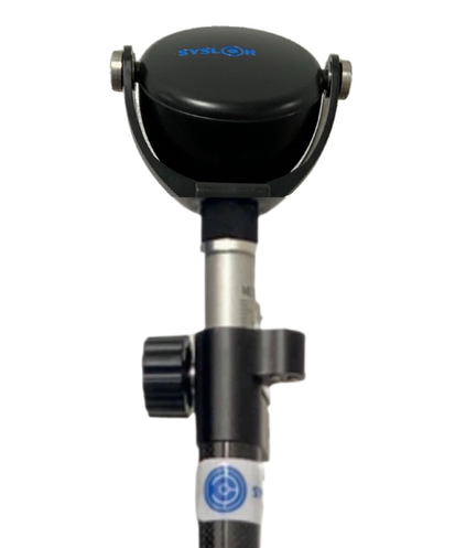
Proteus – Syslor
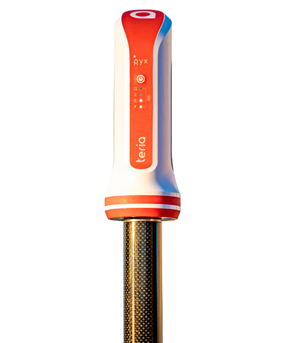
Pyx – Teria
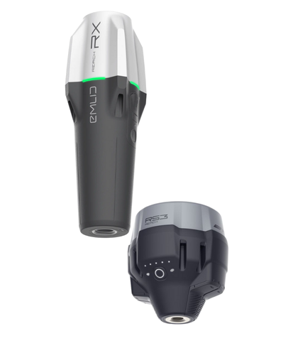
Reach RX & Reach RS3 – Emlid
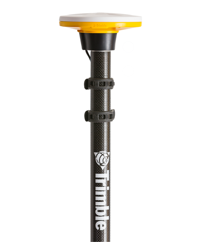
All receivers – Trimble
They chose Syslor
Surveyors, local authorities, network operators, public works companies — they have integrated our solutions into their operations. Why not you?


Request a demonstration
Request an EasyScan demo and discover how to capture an open trench, generate a georeferenced 3D point cloud, and create an as-built plan directly from any Android or iOS device. Our experts guide you step-by-step and answer all your questions.
What can you expect from this demo?
- A demonstration of capturing video of the open excavation
- Automatic generation of the georeferenced point cloud
- An example of a deliverable generated with EasyMap, our drawing tool
- A discussion on how EasyScan can be integrated into your documentation workflow
- Editing the as-built plan, creating longitudinal and cross profiles, calculating volumes, and concatenating models with EasyMap
- Exporting deliverables to your usual CAD or GIS tools
Explore the complete Syslor ecosystem for underground network projects.
Discover our solutionsDownload the EasyScan app
Access our services wherever you are with our app available on iOS and Android.